

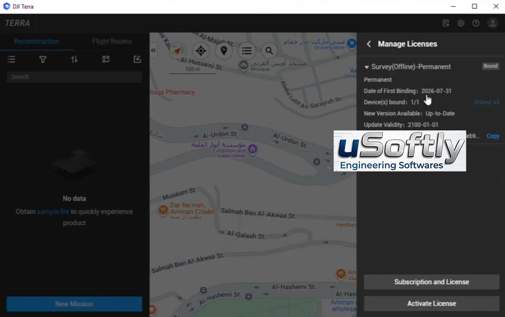
DJI Terra 2026 v4.5.0 – Professional Drone Mapping and 3D Modeling Software for Aerial Surveying
DJI Terra is DJI’s flagship desktop software for drone mapping and 3D reconstruction. It provides an end-to-end toolkit that transforms aerial imagery into survey-grade maps and models, supporting a wide range of enterprise applications including surveying, construction, agriculture, and public safety.
Version 4.5.0 introduces significant enhancements focused on improving 3D modeling accuracy and data processing efficiency . Key additions include scale constraints for visible light reconstruction that allow users to fine-tune model sizes to match real-world dimensions, coordinate system recommendations tailored to specific countries and regions, and expanded PPK processing support across a broader range of DJI hardware.
The software supports real-time 2D mapping during flight, 2D and 3D reconstruction from captured imagery, and LiDAR point cloud processing for detailed terrain and asset analysis . DJI Terra also includes Gaussian Splatting capabilities for photorealistic 3D visualization.
Primary Users
DJI Terra 2026 v4.5.0 is designed for surveyors, GIS professionals, construction engineers, and drone operators who need to transform aerial imagery into accurate 2D maps and 3D models. It serves professionals who:
-
Conduct topographic surveying and mapping for construction, infrastructure, and land development projects
-
Create 3D models and digital twins of buildings, terrain, and assets for planning and documentation
-
Perform precision agriculture and environmental monitoring using multispectral and LiDAR data
-
Support public safety and emergency response with rapid situational awareness from drone-captured data
-
Generate survey-grade deliverables including orthomosaics, point clouds, DSMs, and volumetric measurements
Key Features & Capabilities
Flight Planning and Mission Execution
-
Waypoint Flight: Set multiple waypoints with individual actions including altitude, speed, heading, and gimbal pitch adjustments
-
Mapping Aerial Photography: Automatically generates flight paths based on selected target areas; supports map tapping, KML import, and aircraft point acquisition for boundary definition
-
Oblique Photography: Plans 5 flight routes (1 orthophoto + 4 oblique) for comprehensive 3D model construction
Model Reconstruction
-
Real-Time Mapping: Generates 2D orthophotos during flight using SLAM and orthorectification algorithms, enabling on-site verification
-
2D Reconstruction: Optimized algorithms for agricultural and urban scenarios; true orthophoto technology prevents image distortion
-
3D Reconstruction: Automatic generation of high-precision reality 3D models from multi-angle imagery; fast reconstruction with low memory usage for large-scale data
-
LiDAR Point Cloud Processing: Efficient processing of large LiDAR datasets
New in v4.5.0
-
Scale Constraints: Adjust 3D model sizes to precisely match real-world dimensions — critical for construction, surveying, and infrastructure applications
-
Coordinate System Recommendations: Suggests appropriate horizontal and vertical coordinate systems for specific countries and regions, streamlining setup and reducing geospatial alignment errors
-
GSD-Based 2D Map Resolution: Set map resolution based on Ground Sampling Distance for precise 2D mapping outputs
-
Expanded PPK Processing: Supports Post-Processed Kinematic processing for Zenmuse L1/L2 (photos only), Zenmuse P1, Mavic 3M/3E/3T, Matrice 3D/4D/4TD/4T/4E
-
Point Cloud Accuracy Optimization: Improved point cloud output accuracy in weak texture areas during visible light reconstruction
-
Agricultural Application Optimization: Supports maximum area of 10,000 mu with 2D output files not exceeding 5 GB
Data Analysis
-
Measurement Tools: Measure coordinates, distances, areas, and volumes on generated models
-
Result Management: Name measurement objects, annotate dimensions, and export results
-
Photo Point Inspection: Click any point on the model to quickly display all associated photo points and imagery






Reviews
There are no reviews yet.