

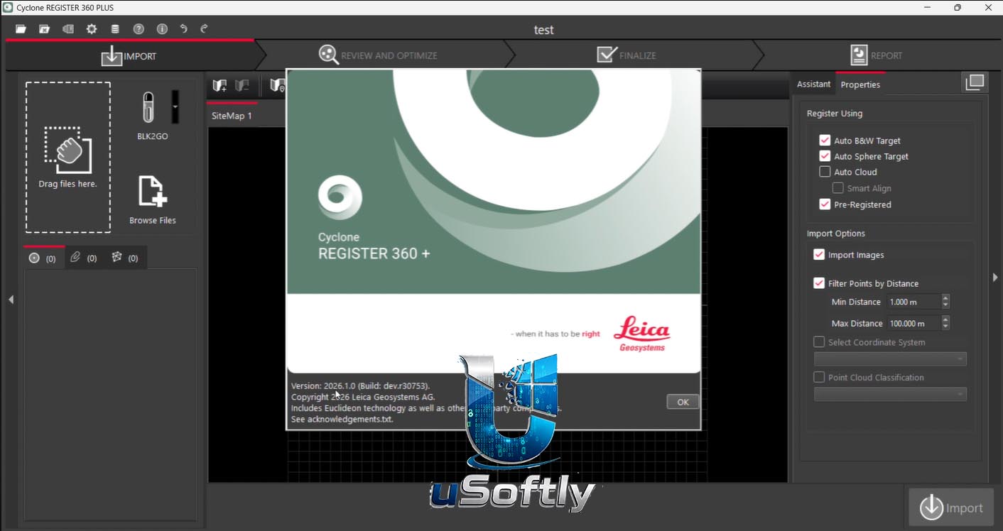
Leica Cyclone REGISTER 360 PLUS 2026.1.0: Advanced Point Cloud Registration & Reality Capture Software
Leica Cyclone REGISTER 360 PLUS 2026.1.1 is the latest evolution of Leica Geosystems’ powerful point cloud registration and reality capture software, designed to empower users of any skill level to work smarter, deliver results more accurately, visualise in more detail, and collaborate more effectively . From simple, guided workflows to automated registration, it generates client-ready deliverables with the click of a button.
The PLUS edition builds on the standard REGISTER 360 by adding advanced visualisation (True View and 3D TruSpace visualisation), point cloud editing (classification, clipping, noise cleaning), advanced analysis (surface deviation, clash detection, volume calculations), precision control (control point adjustment), and seamless CAD/BIM integration (export to Autodesk Revit, AutoCAD, Navisworks, and IFC).
???? Primary Users
This professional point cloud registration software is designed for:
-
Land Surveyors & Geomatics Professionals processing laser scan data from Leica RTC360, BLK360, P-Series, and other laser scanners .
-
BIM & VDC Coordinators integrating reality capture data into building information models for renovation, retrofit, and construction verification.
-
Forensic & Accident Reconstruction Specialists creating accurate 3D scenes for legal documentation and analysis.
-
Civil Engineers & Infrastructure Designers registering scan data for topographic surveys, road and bridge mapping, and tunnel monitoring.
-
Heritage & Cultural Heritage Preservationists documenting historical sites with high-precision 3D models.
⚡ Key Features & Capabilities
???? Automated & Guided Registration
Smart Registration Engine:
-
Visual Alignment – Intuitive drag-and-drop placement for rapid coarse registration .
-
Cloud-to-Cloud Registration – Automatic fine registration using point cloud geometry .
-
Target-Based Registration – Use checkerboard, sphere, or custom targets for survey-grade accuracy .
-
C2C + Targets Hybrid – Combine both methods for optimal results .
User-Assisted Registration:
-
Visual Constraints – Apply visual alignment constraints between scan positions .
-
Grouping – Register clusters of scans, then link clusters .
Quality Control:
-
Real-time quality feedback with color-coded links (green = excellent, yellow = needs improvement, red = failed) .
-
Link strength indicator (number of points used for C2C) .
???? Immersive Visualisation (PLUS Features)
-
3D TruSpace Visualisation – Full 3D environment for navigating and inspecting registered point clouds .
-
True View – Photorealistic panoramic views with measurement and annotation directly within the panorama .
-
Section Views – Slice through the point cloud to view internal structures, extract profiles and ortho-images .
-
Walk/Fly-Through – Real-time navigation for immersive site exploration .
✂️ Point Cloud Editing & Classification (PLUS Features)
-
Noise Removal – Automatically filter out unwanted points (people, vegetation, vehicle traffic) .
-
Clipping Boxes – Isolate specific areas for detailed analysis .
-
Point Classification – Classify ground, vegetation, building, and other features .
-
Color by Elevation / Intensity / Scan – Visualise data by different attributes .
???? Advanced Analysis (PLUS Features)
| Analysis Tool | Description |
|---|---|
| Surface Deviation | Compare registered point cloud to a reference surface (CAD model, plane, or another point cloud) |
| Clash Detection | Identify interferences between as-built point cloud and design model |
| Volume Calculation | Compute cut/fill volumes for earthworks, stockpiles |
| Clearance Analysis | Measure distances between objects (pipes, walls) |
???? Measurement & Annotation
-
Point-to-Point – Distance, angle, slope, elevation difference
-
Surface-to-Surface – Clearance between two planes
-
Section Measurements – Profile extraction, cross-sections
-
Smart Annotation – Add text, arrows, callouts directly on point cloud or panorama
???? CAD/BIM Interoperability (PLUS Features)
-
Export Formats – Autodesk Revit (RCP/RCS), AutoCAD (DWG/DXF), Navisworks (NWC), IFC, Leica JetStream (LGS), LAS/LAZ, E57, PTS, PTX, XYZ
-
BIM Collaboration – Seamless data transfer to Revit, Civil 3D, AutoCAD Plant 3D
-
Point Cloud for Design – Generate mesh surfaces, extract breaklines, create ortho-images
☁️ Collaboration & Cloud Sharing
-
Leica Cloud Share – Publish registered scans and panoramas to the cloud for client review .
-
Password-Protected Sharing – Control access to your data .
-
Web Viewer – Clients can view, measure, and annotate without any software installation .
???? What’s New in Version 2026.1.1
| Feature | Description |
|---|---|
| Project Backup & Restore | Native project backup and restore without loading project |
| Progress History | Data processing history available from project details |
| Precision Tower Alignment | Option to turn ON high precision tower alignment |
| Open Projects Directly from LGS | LGS files are now directly accessible from REGISTER 360’s home screen |
| Windows Open With Support | Right-click LGS file → Open with REGISTER 360 |
| Missing Geometries Handling | Software automatically recalculates missing geometries on demand |
| Cloud-to-Cloud (C2C) Optimisation | Limit visible scan distance to significantly improve C2C processing time |
| Shared Marker Detection | Shared marker detection available after registration |





Reviews
There are no reviews yet.