
Leica GNSS Spider 2025 v7.11: Comprehensive GNSS Reference Station & Network Management Software
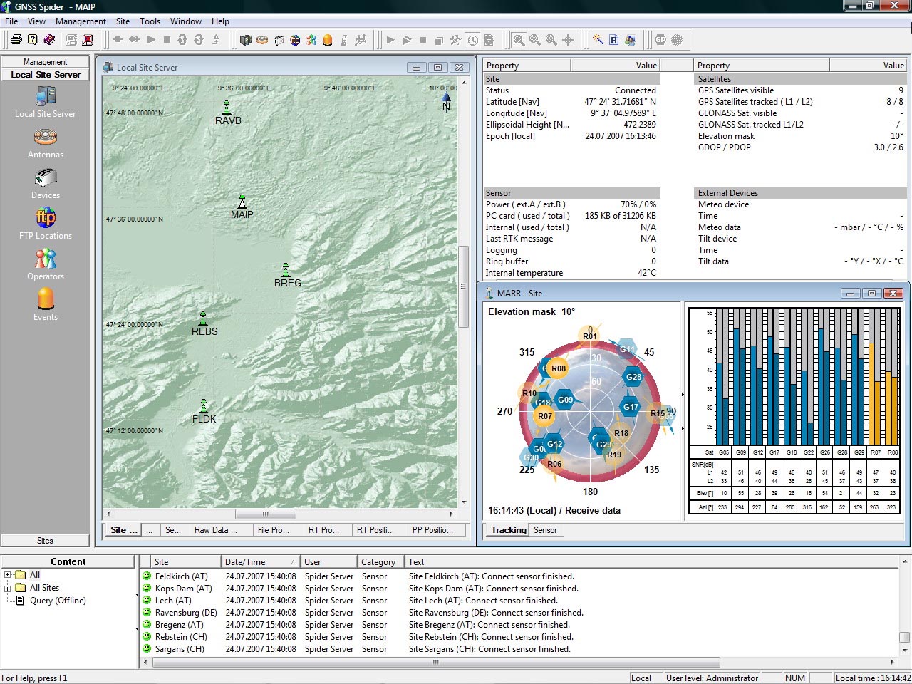
Leica GNSS Spider 2025 v7.11 is the latest evolution of Leica Geosystems’ flagship software suite for centrally controlling and operating GNSS reference stations and networks . Designed as a modular, web-based solution, GNSS Spider provides the complete infrastructure for delivering real-time correction data and post-processing services to a broad community of rover users .
The software is built on a highly scalable architecture that allows users to invest only in what is needed for current requirements, with easy expansion as demands grow . Whether operating a single reference station for local surveying or a large-scale national CORS network with hundreds of stations, GNSS Spider delivers the reliability, accuracy, and security that professional GNSS infrastructure demands.
Version 7.11 continues the 7.x series, which introduced the web-based Spider Web interface for browser-based management and monitoring. A significant update in recent years, version 7.x represented the first web-based solution for managing real-time and post-processing services, accessible from anywhere with an internet connection
???? Primary Users
This professional GNSS network management software is designed for:
-
National Mapping Agencies & CORS Network Operators establishing and managing Continuously Operating Reference Stations (CORS) for country-wide RTK services
-
Surveying & Engineering Companies operating private GNSS reference networks for high-precision positioning in construction and cadastral surveys
-
Deformation & Structural Monitoring Specialists monitoring dams, bridges, mines, landslides, and high-rise buildings with millimeter precision
-
Service Providers & RTK Network Operators offering paid subscription-based GNSS correction services to external customers
-
Seismic & Geodynamic Research Institutions operating large-scale seismic monitoring networks for earth science applications
⚡ Key Features & Capabilities
????️ Modular & Scalable Architecture
| Feature | Description |
|---|---|
| Single Station to Large Networks | Scalable from one reference station to hundreds, protecting initial investment while allowing growth |
| Modular Software Components | Add capabilities as needed — RINEX logging, real-time corrections, Network RTK, user management |
| Future-Proof Design | Supports all GNSS constellations (GPS, GLONASS, Galileo, BeiDou); new signals added via updates |
| Receiver Agnostic | Native support for Leica receivers (System 1200, GMX900, System 500) plus any brand via standard protocols |
???? Comprehensive Service Creation
GNSS Spider enables users to create a wide range of products and services tailored to specific customer needs:
| Service Type | Description |
|---|---|
| RINEX Logging | Automatic data recording with quality control and FTP distribution |
| Real-Time Corrections | RTK and DGPS data in multiple formats (RTCM v2.x, v3.x, CMR, CMR+, Leica proprietary) |
| Network RTK (SpiderNET) | Long-range, high-accuracy corrections using Leica MAX (Master-Auxiliary) technology |
| Post-Processing Services | Data archiving, quality monitoring, and distribution for office processing |
???? SpiderNET – Advanced Network RTK
The SpiderNET module is the core of Leica’s network RTK solution, delivering consistent high accuracy over large areas :
-
Leica MAX Technology – Provides RTCM v3.0-compatible Master-Auxiliary corrections (standardized network RTK format)
-
Long Baseline Capability – Allows wider spacing between reference stations, reducing infrastructure costs
-
Dual Constellation Support – Full GPS and GLONASS processing for improved performance in challenging environments
-
Continuous Network Processing – Automatically models distance-dependent errors (ionosphere, troposphere, orbits)
???? Industry Applications
????️ National & Regional CORS Networks
Operate large-scale Continuously Operating Reference Station networks providing RTK corrections to thousands of surveyors across entire countries. SpiderNET enables long baselines and consistent accuracy across the service area .
????️ Construction & Engineering
Provide high-precision positioning for machine control, site surveying, and construction layout. Single-base RTK from locally managed reference stations .
???? Structural & Deformation Monitoring
Monitor critical infrastructure including dams, bridges, high-rise buildings, mines, and landslide zones with millimeter precision using Spider Positioning module .
???? Precision Agriculture & Machine Control
Deliver correction services for autonomous farming equipment and construction machinery across large agricultural regions .
???? Geodetic & Seismic Research
Operate scientific GNSS networks for tectonic plate monitoring, seismic research, and atmospheric studies. Spider suite can manage large seismic networks .
???? Commercial RTK Service Provider
Offer subscription-based RTK correction services to external customers using Spider Business Center for user management, access control, and billing


Reviews
There are no reviews yet.