

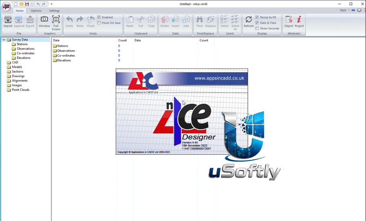

N4ce Designer 2026 v4.40d – Advanced Surveying and 3D Modeling Software for Infrastructure and Earthworks Projects
N4ce Designer 2026 v4.40d is the most feature-rich edition of AiC’s “Field to Finish” software suite, offering a complete workflow from survey data capture to final design deliverables . The software combines powerful survey processing capabilities with advanced modeling tools for geological, mining, rail, and earthworks applications .
The Designer edition builds upon the Lite and Professional versions by adding specialist applications tailored for complex projects, including borehole logging, geological modeling, alignment design, and rail analysis tools . It supports seamless data exchange with AutoCAD and integrates with field data collection software like X-PAD Ultimate
Primary Users
N4ce Designer 2026 v4.40d is designed for civil engineers, surveyors, mining engineers, geologists, and infrastructure planners who require advanced modeling and design capabilities for complex projects. It serves professionals who:
-
Conduct geological modeling and mine planning with specialized tools
-
Design railways, roads, and haul roads with alignment and cross-section analysis
-
Process and edit large LiDAR datasets with grid-based DTM workflows
-
Perform earthworks balancing and cut/fill analysis for construction projects
-
Compare as-built scans against design models using point cloud clash detection
Key Features & Capabilities
Advanced Modeling and Design Tools
-
Geological and Mining Modeling: Specialist applications for borehole logging, geological modeling, volumetric analysis, and mine planning
-
Rail Design Tools: Comprehensive rail surveying features including cant analysis, versine calculations, offset measurement, and overlap/parallel analysis
-
Horizontal and Vertical Alignment Design: Tools for designing roads, railways, pipelines, and other linear infrastructure with precise alignment control
-
Haul Road Design: Dedicated tools for designing and modifying haul roads in mining and earthmoving applications
LiDAR and Point Cloud Processing
-
Grid-Based LiDAR Editing: Efficient processing and editing of large LiDAR datasets using grid-based DTM models
-
Point Cloud Clash Detection: Compare scans against design models and transform scanned objects for quality control
-
Multi-Surface Modeling: Create detailed 3D models for comprehensive terrain analysis and visualization
Earthworks and Volume Analysis
-
Cut/Fill Balancing: Calculate balancing cut and fill levels with surcharge and bulking factor support
-
Height Factoring: Model underlying strata profiles and predict ground level variations
-
Visibility Analysis: Assess line-of-sight scenarios using radial sections with visible/hidden segment differentiation
Data Integration and Reporting
-
MX GENIO Integration: Seamless input/output for horizontal transitions and vertical parabolas
-
Aerial Photo Overlay: Superimpose orthophotos onto grid data for enhanced visualization
-
Comprehensive Reporting: Generate detailed reports for rail surveys, volume calculations, and earthworks
What’s New in N4ce Designer 2026 v4.40d
The 4.40d version, released in December 2024, is part of the 2026 software cycle . While the latest version available is 4.40e (May 2026) , version 4.40d includes:
-
Continued refinement of Designer-specific tools: Geological modeling, alignment design, and rail surveying features
-
Performance optimizations: Improved handling of large LiDAR datasets and point cloud processing
-
Enhanced integration: Compatibility with X-PAD Ultimate field software and AutoCAD workflows
Future updates, including version 4.40e, continue to expand the software’s capabilities with a migration toward Vulkan rendering for improved large point cloud scene performance





Reviews
There are no reviews yet.