
Download NETCAD GIS – Advanced CAD and GIS Software for Environmental Applications
NETCAD GIS is a comprehensive geospatial engineering software developed by NETCAD, designed to bridge the gap between Computer-Aided Design (CAD) and Geographic Information Systems (GIS). This application is tailored for professionals in engineering and environmental science fields, enabling sophisticated geospatial analysis and data management. Its integrated approach makes it a valuable tool for tasks ranging from urban planning to detailed environmental monitoring, supporting users who require robust CAD and GIS software.
Introduction to NETCAD GIS
Overview and Core Purpose
NETCAD GIS represents a convergence of CAD and GIS technologies, providing a unified platform for users who work with spatial data within engineering contexts. The software’s core purpose is to offer a user-friendly yet powerful environment for creating, managing, and analyzing complex geospatial information. It caters to engineers and GIS professionals who need to integrate design data with real-world geographical information, thereby enhancing the efficiency and accuracy of projects in sectors like urban planning and environmental science.
Key Features of NETCAD GIS
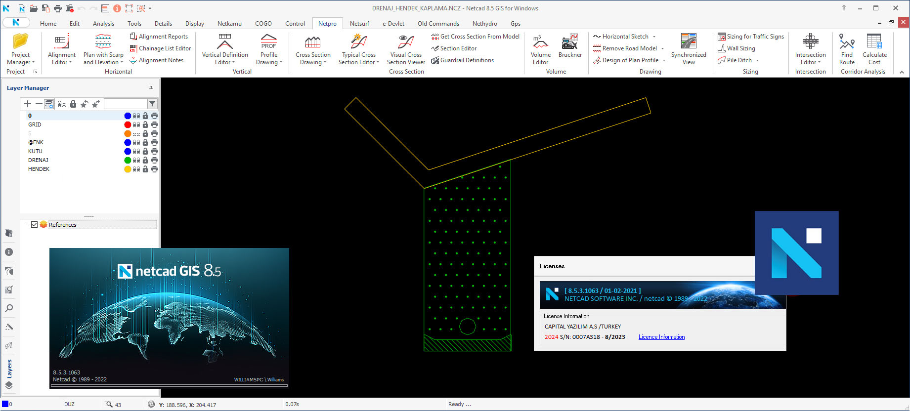
Enhanced Layer Management
NETCAD GIS incorporates an advanced layer management system that is central to its functionality. This system allows users to organize, control, and visualize multiple layers of spatial data within a single project environment. Such comprehensive control is crucial for managing complex datasets in engineering projects, enabling users to toggle visibility, apply symbology, and filter information effectively to gain clear insights.
Dynamic Data Access
Users benefit from dynamic data access capabilities, facilitated by NETCAD GIS’s advanced search engine. This feature allows for rapid retrieval of project materials and associated data, significantly speeding up workflows. The ability to quickly locate and access relevant information is paramount in fast-paced engineering and geospatial analysis tasks, ensuring that project timelines are met without compromising data integrity.
Integration with External Tools
NETCAD GIS offers robust integration functionalities with external applications, notably including popular platforms like Google Earth. This connectivity allows users to overlay their project data onto global satellite imagery and mapping services, providing a broader geographical context. Such integration enhances data visualization and presentation, making it easier to communicate findings and understand spatial relationships in real-world scenarios.
Use Cases in Environmental and Engineering Projects
NETCAD GIS proves indispensable across a spectrum of engineering and environmental applications. Professionals leverage its capabilities for detailed urban planning initiatives, where accurate spatial data management is critical for infrastructure development and zoning. In environmental monitoring projects, the software aids in tracking ecological changes, managing natural resources, and assessing environmental impact through sophisticated geospatial analysis tools. Furthermore, its visualization features are highly beneficial for presenting complex geospatial data clearly to stakeholders.
Comparison with Competitor Software
NETCAD GIS distinguishes itself from other CAD and GIS software through its emphasis on seamless integration and user-centric design. While many competitors offer separate CAD and GIS functionalities, NETCAD GIS provides a more unified experience, particularly benefiting engineers who require both design and spatial analysis capabilities simultaneously. Its specialized layer management system and intuitive data access tools are often cited as key differentiators, offering a more streamlined workflow for geospatial engineering tasks compared to more fragmented solutions.
Latest Updates and Version Highlights
Version of NETCAD GIS introduces several key improvements aimed at enhancing user experience and software performance. While specific details on version require access to NETCAD’s development logs, typical advancements in such releases focus on expanding compatibility with emerging GIS formats, refining the performance of the layer management system for larger datasets, and improving the responsiveness of the integrated search engine. These updates are designed to align with evolving industry standards and user demands in geospatial engineering.
Conclusion and Next Steps
NETCAD GIS offers a powerful and integrated solution for professionals engaged in geospatial engineering and environmental science. Its advanced features in layer management, dynamic data access, and external tool integration empower users to tackle complex projects with greater efficiency. Potential users interested in harnessing these capabilities are encouraged to explore the software further, perhaps starting with specific use cases relevant to their field, to fully appreciate its comprehensive functionality for CAD and GIS software needs.
Frequently Asked Questions
What is NETCAD GIS used for?
NETCAD GIS is utilized primarily for integrating CAD and GIS functionalities, enabling engineers to create, manage, and analyze geospatial data efficiently. It serves various applications in urban planning and environmental management, combining design capabilities with spatial data processing.
How does NETCAD GIS facilitate project collaboration?
NETCAD GIS simplifies project collaboration through its advanced layer management and data sharing features, allowing multiple users to interact seamlessly with shared projects and data types. This ensures that teams can work congruently on complex geospatial projects.
Is NETCAD GIS compatible with other GIS formats?
Yes, NETCAD GIS supports a wide range of GIS formats and integrates with various third-party applications, enhancing its usability for diverse geospatial tasks. This broad compatibility ensures it can function effectively within existing technical ecosystems.


Reviews
There are no reviews yet.