
Download Qinertia 4.3.6492 – Advanced GNSS and INS Post-Processing Software for Surveying
Qinertia 4.3.6492 is a specialized post-processing software designed for GNSS (Global Navigation Satellite System) and INS (Inertial Navigation System) data. Developed for professionals in civil engineering, surveying, construction, and geospatial mapping, it focuses on improving positioning accuracy through advanced algorithms. This software is crucial for tasks requiring centimeter-level precision in data collection and analysis.
Overview of Qinertia and Its Role in Modern Surveying
Qinertia acts as a bridge between raw sensor data and actionable, highly accurate geospatial information. By processing GNSS and INS sensor
measurements, it addresses the inherent limitations of individual sensor types. This is particularly vital in modern surveying and construction, where
project accuracy specifications demand reliability and precision far beyond standard GPS capabilities. The software is engineered to streamline the complex
task of geospatial data post-processing, making advanced techniques accessible to surveying professionals.
Advanced Data Processing Modes and Fusion Techniques
Tight Coupling of GNSS and INS Data
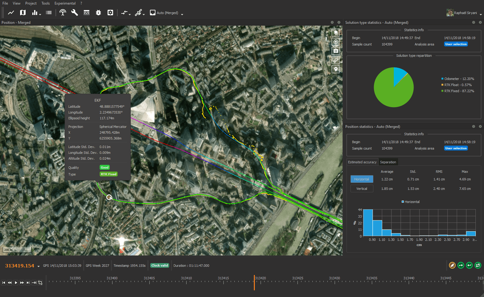
The core strength of Qinertia lies in its sophisticated tight coupling algorithm, which intricately fuses raw GNSS observables with inertial
navigation data. This integration allows the software to leverage the strengths of both systems, enhancing overall positioning and orientation accuracy.
By using the inertial data to smooth out GNSS gaps and the GNSS data to correct inertial drift, Qinertia achieves centimeter-level positioning,
a critical requirement for detailed infrastructure monitoring and precise construction layouts.
This advanced fusion technique not only boosts accuracy but also improves the reliability of the positioning solution, even in challenging
environments where GNSS signals might be intermittently obstructed. The tight coupling ensures that all available sensor information contributes optimally
to the final computed trajectory.
GNSS-Only Post-Processing Capabilities
While excelling in GNSS/INS integration, Qinertia also offers robust capabilities for processing GNSS-only data. Users can achieve high-precision results
using differential GNSS techniques, leveraging a vast network of base stations for reference. This mode is essential for surveying professionals who may
only be equipped with GNSS receivers or need to process existing GNSS datasets. The software applies advanced algorithms to extract the highest possible
accuracy from these measurements, ensuring centimeter-level results even without inertial system integration.
Integration with Base Stations and Industry Standards
Qinertia integrates with an expansive network of over 8,000 base stations, which are continuously updated. This extensive network provides reliable
reference points necessary for differential correction, significantly enhancing the accuracy of GNSS-only and integrated GNSS/INS solutions. The software
is engineered to work seamlessly with these reference data sources, ensuring high-quality and reliable positioning for a wide range of surveying applications.
This commitment to robust referencing underpins the software’s ability to deliver industry-leading accuracy.
Performance and Efficiency in Surveying Workflows
Designed with the busy surveyor in mind, Qinertia prioritizes processing speed and user experience. The software employs optimized algorithms to
accelerate post-processing times, allowing professionals to deliver results more rapidly. This efficiency is crucial for maintaining project timelines and
managing workloads effectively. Qinertia’s interface is intuitive, simplifying the complex calculations involved in GNSS and INS data fusion, and providing
a streamlined workflow from raw data to final accurate coordinates.
Practical Applications and Case Scenarios in Civil and Construction Projects
In civil engineering and construction, Qinertia provides indispensable accuracy for a variety of critical tasks. Surveyors utilize the software
for precise earthwork calculations, ensuring that construction aligns perfectly with design specifications. It is also applied in infrastructure monitoring,
such as tracking the stability of bridges, tunnels, and dams, where centimeter-level accuracy can identify subtle movements indicative of structural issues.
Geospatial mapping projects benefit from Qinertia by generating highly detailed and accurate terrain models and site maps, which are fundamental for planning
and execution. In urban development, its precision aids in corridor mapping and utility surveys, ensuring accurate placement and management of underground
and above-ground infrastructure.
Compatibility and Data Format Support
Qinertia supports a wide array of GNSS receiver and INS sensor data formats, enhancing its compatibility with existing surveying hardware. This open approach allows
professionals to integrate the software into their current workflows without significant disruption. Its ability to import data from various manufacturers and
export results in standard industry formats ensures interoperability with other geospatial software platforms and databases, facilitating seamless data management
and analysis across different project phases.
Frequently Asked Questions
How does Qinertia improve the accuracy of GNSS data in surveying?
Qinertia uses a tight coupling approach that fuses raw GNSS and INS data during post-processing, significantly improving positional accuracy to the centimeter level, which is critical for precision surveying. This integration enhances the reliability and precision of positioning solutions, especially in environments where GNSS signals may be less stable.
Can Qinertia process GNSS-only data or is it only for GNSS/INS combined datasets?
Qinertia is designed to support both GNSS-only and GNSS/INS data post-processing, allowing users to achieve precise positioning regardless of hardware setup. This flexibility ensures that professionals can attain high accuracy whether they are using GNSS receivers alone or a combined GNSS/INS system.
What industries typically use Qinertia software?
Qinertia is widely used in civil engineering, construction, geospatial mapping, and infrastructure monitoring sectors where precise positioning and surveying data post-processing are essential. These industries rely on the software for tasks that require highly accurate geospatial measurements and data-driven decision-making.


Reviews
There are no reviews yet.