
Softree RoadEng11 v11.0.731: Specialized Civil Design for Rural Infrastructure
Softree RoadEng11 v11.0.731 is an interactive civil engineering design software specialized for road, rail, and pipeline projects in rural and resource sectors . Unlike heavy CAD platforms like Civil 3D, RoadEng is built from the ground up to work with surfaces, cross-sections, and alignments, handling massive datasets (10M+ LiDAR points) efficiently without requiring additional CAD software .
Version 11 introduces Path Explorer AI, an intelligent tool that rapidly generates preliminary alignments based on user-defined constraints (grade limits, side slopes, no-go zones), dramatically accelerating early-stage route selection . It also features automated horizontal/vertical curve generation, hydrology enhancements, and improved LiDAR processing .
RoadEng is used in over 100 countries and has been a trusted tool in resource industries for over 30 years.
????️ Primary Users
-
Civil Engineers & Technicians designing rural roads, forestry access, and mine haul routes.
-
Environmental & Pipeline Engineers planning pipeline corridors and stream crossings.
-
Public Works Agencies maintaining and upgrading county roads.
-
Construction Contractors performing earthwork calculations and generating machine control data.
⚡ Key Features & Capabilities
???? Path Explorer AI (v11)
-
AI-assisted preliminary alignment: Input constraints (min/max grade, side slopes, no-go zones, high-cost zones). The AI searches for feasible, low-cost corridor options from Point A to Point B in minutes .
-
Optimization: Dramatically reduces earthwork costs by optimizing vertical alignments (10-30% savings) and horizontal alignments (savings can exceed 50%) .
????️ Corridor Design (Standalone)
-
Real-time interactivity: Modify alignments in plan, profile, or cross-section views; all windows update dynamically .
-
Flexible templates: Assemble typical sections from a library (ditches, pavement, sub-base, cut/fill slopes, curbs, sidewalks).
-
Earthwork & Costs: Calculate detailed volumes and sub-grade construction costs as you design, enabling cost-based design decisions .
????️ Terrain & Survey Data
-
Massive dataset handling: Processes point clouds and LiDAR data with over 10,000,000 points .
-
Terrain modeling: Creates TIN surfaces from almost any topo data. Generates contours, slope vectors, and color shading for analysis .
????️ Site & Utility Design
-
Culverts: Simple culvert placement via editor panel or detailed multi-alignment design for fish passages/cross drains .
-
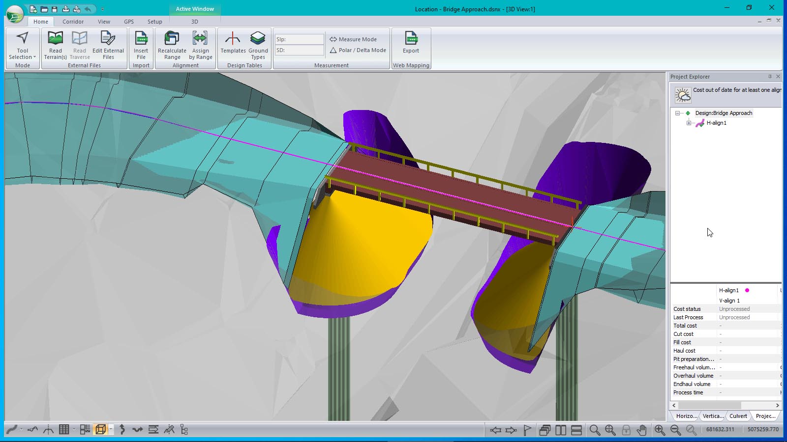
Site grading: Create pads, ponds, quarries, stockpiles, sub-surface zones, and bridge sites .
???? Output & Sharing (No CAD Required)
-
Multi-Plot Report Builder: Print plan, profile, and cross-section data as a single PDF document that updates with the design .
-
Interoperability: Exports to LandXML (machine control), DWG, DGN, and PDF. Integrates with GIS systems .
???? What’s New in Version 11
-
Path Explorer AI .
-
Automated Horizontal & Vertical Curve Generation .
-
Hydrology Enhancements .
-
Improved LiDAR Processing & Corridor Design .
???? System Requirements
Minimum
-
OS: Windows 7–11 (64-bit)
-
RAM: 4 GB
-
Storage: 1 GB disk space
-
Display: 800 x 600 resolution


Reviews
There are no reviews yet.