
Download Stonex Cube Manager 4.4 – GNSS Data Management and CAD Software
Stonex Cube Manager 4.4 is an advanced software application developed by Stonex Group, specifically designed for professional use in mining, surveying, and geospatial engineering. This software serves as a comprehensive solution for managing data collected from GNSS receivers and Total Stations, integrating powerful CAD functionalities for detailed project analysis and design. It caters to the needs of surveyors and engineers requiring robust tools for handling complex geospatial datasets.
Introduction to Stonex Cube Manager
Overview of Software Capabilities
Stonex Cube Manager offers a robust platform for the efficient management and processing of survey data. Its core purpose revolves around streamlining workflows for professionals working with GNSS and Total Station data. The software is engineered to handle the intricacies of raw field data, transforming it into actionable insights through advanced visualization and analysis tools, making it an indispensable asset for external civil engineering and mining projects.
Key Features and Functionalities
Data Visualization and Modeling
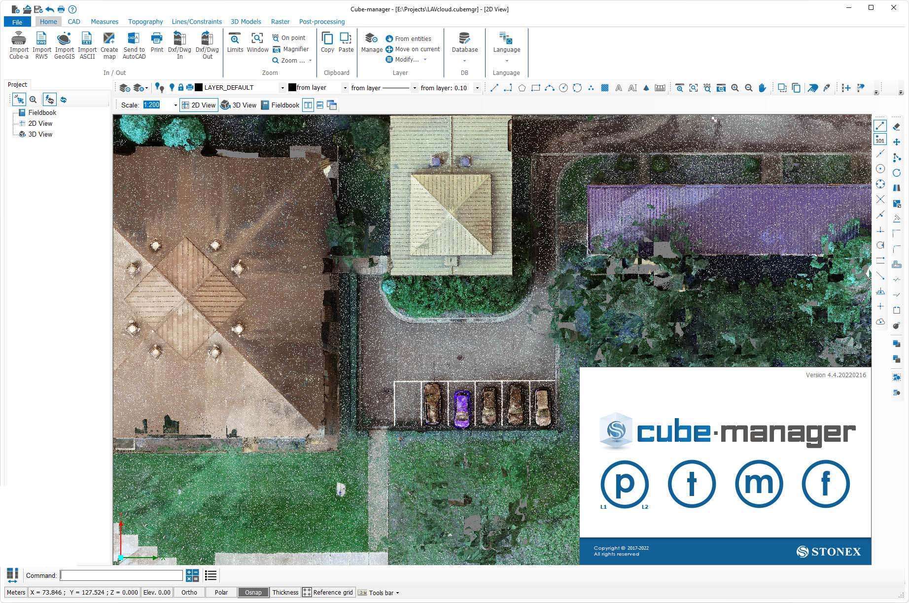
Stonex Cube Manager excels in presenting complex spatial data in clear, understandable formats. It supports the creation of detailed 2D and 3D renderings, which are crucial for visualizing terrain and project site conditions accurately. The software also includes sophisticated tools for generating contour lines, providing essential topographic information for detailed engineering and land development planning.
- 2D and 3D data visualization capabilities
- Advanced contour calculation tools for topographic analysis
- Clear representation of project sites and collected measurements
Data Formats and Compatibility
Ensuring seamless integration within existing project pipelines, Stonex Cube Manager supports a wide array of industry-standard data formats. This broad compatibility allows professionals to import and export data with various other software used in surveying and engineering workflows. Such flexibility is key for data exchange and collaborative project environments.
- Import and export of DXF and DWG files for CAD compatibility
- Support for KML and KMZ formats for geospatial data exchange (e.g., Google Earth)
- Compatibility with CSV files for tabular data import and export
CAD Tools and Interaction
The software integrates essential Computer-Aided Design (CAD) functionalities directly within its data management environment. This allows users to perform drafting, editing, and design tasks without needing to switch between multiple applications. The inclusion of 3D drafting tools enhances precision and efficiency in creating and modifying designs based on surveyed data.
- Comprehensive suite of 2D drawing tools
- Advanced 3D modeling and editing capabilities
- Precise object snapping features for accurate drafting
Applications in Mining and Surveying
Professional Use Cases
Stonex Cube Manager finds critical applications across various professional domains, particularly in sectors that rely heavily on precise spatial data. Its ability to manage extensive datasets and provide detailed analysis makes it foundational for complex projects.
- Land Surveying: Used for property boundary definition, topographic mapping, and site planning with high accuracy.
- Mining Operations: Facilitates the management of geological data, pit design, and stockpile volume calculations.
- Civil Engineering: Supports infrastructure development projects through accurate site analysis, earthworks calculations, and as-built documentation.
- Environmental Assessments: Utilized for mapping environmental impact zones, monitoring land changes, and resource management.
Integration with Other Technologies
Compatibility with GNSS Receivers and Total Stations
Stonex Cube Manager is designed to work harmoniously with a wide range of geodetic instruments. This interoperability ensures that data collected from various sources can be efficiently processed and analyzed within a single, unified software environment, maximizing the utility of field equipment investments.
- Direct data import from common GNSS receivers
- Support for data files generated by various Total Station models
- Streamlined workflow from field data collection to final processing
Conclusion
Stonex Cube Manager 4.4 stands as a vital tool for professionals in surveying, mining, and geospatial engineering. By combining robust GNSS data management with sophisticated CAD functionalities, it enables efficient project execution, detailed analysis, and accurate modeling. Its compatibility and feature set underscore its relevance in modern geomatics and its contribution to the precision required in critical infrastructure and resource management projects.
Frequently Asked Questions
What is Stonex Cube Manager used for?
Stonex Cube Manager is a software tool primarily used for managing data collected from GNSS receivers and Total Stations, facilitating accurate mapping and surveying tasks. It provides features for 3D modeling and contour calculations, enhancing the quality of professional projects.
What types of data can I import or export with Stonex Cube Manager?
Stonex Cube Manager supports various file formats such as DXF, DWG, KML, and CSV, allowing seamless integration of different data sets for effective project management and visualization.
How does Stonex Cube Manager enhance surveying accuracy?
The software enhances surveying accuracy through its sophisticated data processing capabilities, advanced CAD tools, and the ability to display measurements in multiple dimensions, facilitating precise topographic analysis.


Reviews
There are no reviews yet.