

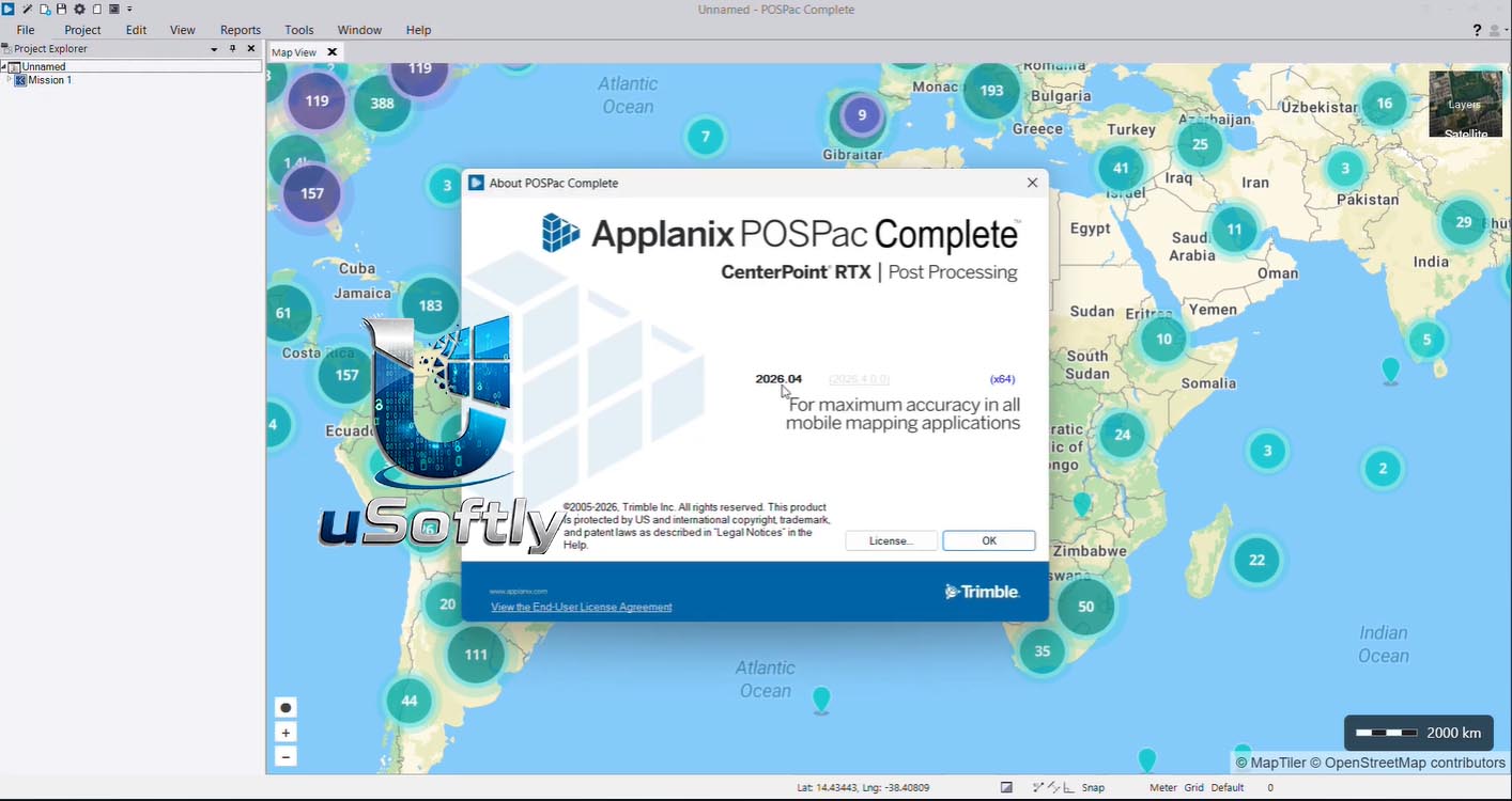
Trimble Applanix POSPac Complete v2026.04 – Next-Generation GNSS-Inertial Post-Processing Software for Mobile Mapping
Trimble Applanix POSPac Complete is a major new release in Trimble’s suite of GNSS-inertial post-processing software, introduced in October 2025 as a comprehensive solution for airborne, land, and marine mobile mapping applications . The “Complete” designation reflects a strategic consolidation of previous separate products—such as POSPac MMS and POSPac UAV—into a single, unified platform with an all-in-one term license model .
The software is powered by a suite of advanced Trimble technologies working in concert :
-
Trimble ProPoint GNSS: Fifth-generation positioning engine with enhanced performance in challenging environments, improved protection against jamming and spoofing, and support for BeiDou-III signals .
-
Trimble CenterPoint RTX: Global GNSS correction service providing real-time and post-processed centimeter-level accuracy without physical base stations, with convergence times under 3 minutes globally (and as fast as 1-2 minutes in fast regions) .
-
Applanix IN-Fusion+: Multi-sensor aided inertial engine that fuses GNSS and inertial data, delivering up to 115% improvement in 3D accuracy in poor GNSS conditions .
The software is available as a term license that bundles Single Base, SmartBase, and PP-RTX processing into a single annual subscription, eliminating hidden costs and simplifying budgeting . Version v2026.04 represents the software iteration available in April 2026, building on the initial release.
Primary Users
Trimble Applanix POSPac Complete v2026.04 is designed for geospatial professionals, surveyors, mapping specialists, UAV operators, hydrographers, and photogrammetrists who require high-accuracy positioning and orientation data for mobile mapping applications . It serves professionals who:
-
Conduct airborne, UAV, land vehicle, and marine surveys requiring precise direct georeferencing
-
Process GNSS and inertial data to generate highly accurate trajectories and orientations
-
Seek to eliminate physical base stations and ground control points (GCPs) to streamline field operations
-
Require robust performance in challenging GNSS environments such as urban canyons, dense foliage, or areas with ionospheric disturbances
-
Need automated, efficient workflows for rapid project turnaround from data acquisition to final deliverables
Key Features & Capabilities
Base Station-Free Processing with PP-RTX
-
Post-Processed RTX (PP-RTX): Processes trajectories without any physical base station, delivering global centimeter-level accuracy within minutes after data acquisition .
-
Direct Correction Download: PP-RTX 2 downloads correction data directly without requiring trajectory upload, and supports processing of “over-the-air” logged RTX corrections when internet is unavailable .
-
True Global Coverage: Ideal for large missions, corridor mapping, coastal zone mapping, and operations in remote or inaccessible areas without CORS or VRS services .
Integrated Processing Modes
-
Single Base (SiB): Traditional single-base station processing for reference station data .
-
Multi-Single Base (MSB): Processing using multiple base station data sources .
-
SmartBase (SmB): Post-processed VRS (Virtual Reference Station) processing .
IonoGuard™ Technology
-
Ionospheric Scintillation Mitigation: Detects and mitigates the effects of ionospheric scintillation, which can severely degrade GNSS performance during peak solar activity .
-
Supported Modes: Available in both Single Base and PP-RTX processing modes .
IN-Fusion+™ Multi-Sensor Aided Inertial Engine
-
Multi-Constellation Support: Supports multi-satellite and multi-frequency GNSS constellations, including BeiDou-III signals .
-
Superior Performance in Challenging Environments: Provides up to 115% 3D accuracy improvement in poor GNSS conditions .
Quality Control and Calibration Tools
-
LiDAR QC Tools: Advanced tools for IMU-to-LiDAR boresight calibration and trajectory adjustment using SLAM techniques. Now supports automatic GCP detection, the RIEGL native file format, and reduced RAM requirements .
-
Camera QC Tools: Robust successor to CalQC, providing rapid IMU-to-camera boresight calibration for single-head and multi-head (oblique) camera constellations with minimal user interaction .
Workflow and Usability
-
Modernized User Interface: New look and feel with a background map and streamlined Project Wizard for easier workflows .
-
Project Wizard: Three-step workflow (Import, Process, Export) for quick and easy high-accuracy results .
-
Batch Command Line: Automated data processing for optimized workflows and reduced manual errors .
-
All-in-One Term License: Bundles Single Base, SmartBase, and PP-RTX into one transparent annual fee .
What’s New in POSPac Complete v2026.04
The v2026.04 release represents the latest iteration of the POSPac Complete platform, which was initially introduced in October 2025 as a next-generation replacement for previous POSPac products . Key capabilities in this version include:
Consolidated All-in-One Licensing Model
-
Single Subscription: Replaces separate licensing for MMS and UAV with a unified “All-in-One License” that includes Single Base, SmartBase, and PP-RTX .
-
Cost Savings: PP-RTX service is effectively included “for free” compared to previous offerings, with multi-year discounts up to 25% .
RTX-Powered Base Station-Free Workflow
-
The “RTX Factor”: Deep integration of CenterPoint RTX and PP-RTX represents a paradigm shift, eliminating the logistical bottlenecks of physical base stations while maintaining or surpassing traditional accuracy .
IN-Fusion+ PP-RTX 2 Enhancements
-
Faster Convergence: Under 3 minutes globally and 1-2 minutes in fast regions, ideal for short UAV flight windows .
-
Direct Downloads: Corrections available within minutes after data acquisition .
IonoGuard™ Protection
-
Solar Cycle Mitigation: Critical protection against ionospheric scintillation as solar activity peaked in 2025, ensuring reliable survey-grade accuracy






Reviews
There are no reviews yet.