Download Datamine Discover Addin 2.2.838 for ArcGIS Pro – Advanced Mineral Exploration GIS Extension
Datamine Discover Addin 2.2.838 for ArcGIS Pro is a specialized Geographic Information System (GIS) extension developed by Datamine, a company renowned for its geoscientific and mine planning software solutions. This addin is tailored for professionals in the mining and mineral exploration sectors, enhancing their capabilities within the Esri ArcGIS Pro environment for advanced spatial data analysis and visualization.
Specialized GIS Solutions for Mineral Exploration
Datamine Discover Addin functions as a critical GIS extension, specifically engineered to optimize mineral exploration workflows. It provides essential tools for managing and interpreting geoscientific data within a familiar GIS framework. The addin integrates sophisticated mapping and analysis functionalities directly into ArcGIS Pro, catering to the unique demands of the mining industry, geological surveying, and environmental consulting fields.
Enhanced Spatial Data Visualization and Analysis Tools
This Datamine Discover Addin offers robust capabilities for both 2D and 3D geoscientific data mapping and analysis. By leveraging the power of ArcGIS Pro, users can create detailed spatial data visualizations that are crucial for understanding subsurface geology and mineral deposit potential. The integration facilitates precise spatial data alignment and management, offering users advanced tools for resource modeling and geoscientific data analysis.
Improved Data Import and Integration Features
The latest version introduces significant enhancements in data handling. Notably, the inclusion of Scaniverse data import options allows users to import external 3D scan datasets. A key feature is the elevation override capability, enabling users to better manage and align embedded elevation data from third-party sources with the project’s spatial references, thereby streamlining workflows and improving data consistency.
Optimized Legend Creation and Project Visualization Management
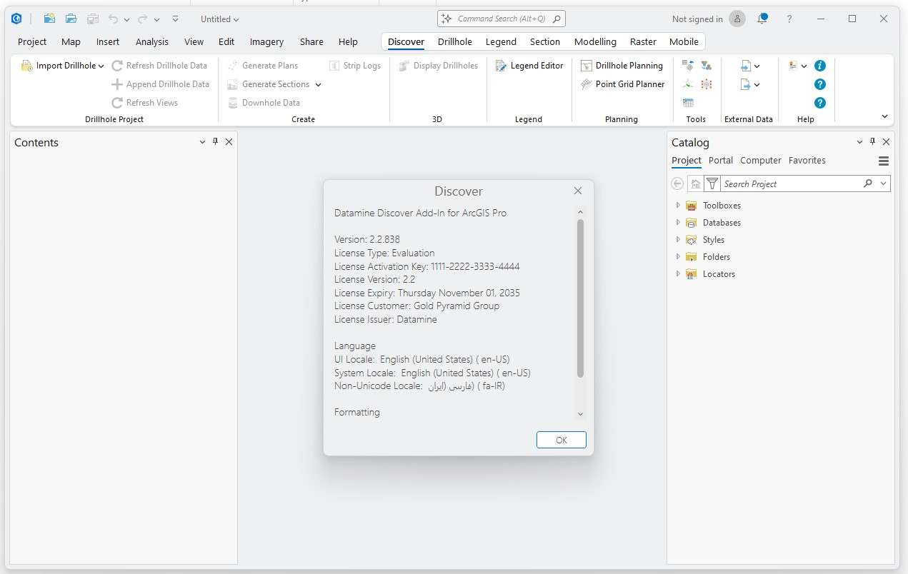
Datamine Discover Addin 2.2.838 includes enhancements to its user interface, particularly focusing on legend management. The improved Legend Editor allows for more efficient creation and customization of map legends, leading to clearer and more professional map outputs. These refinements in workspace management and visualization tools aid geoscientists in presenting their findings more effectively within ArcGIS Pro.
Seamless Field-to-Office Workflow with Discover Mobile Integration
Complementing the desktop addin, Datamine’s Discover Mobile app provides a direct link for field data capture on Android and iOS devices. This integration ensures that data collected in the field, such as geological observations and survey points, can be seamlessly synchronized with the Datamine Discover Addin in ArcGIS Pro. This flow significantly streamlines the process from data acquisition to office-based analysis and interpretation.
Practical Applications and Case Uses in Mining and Environmental Consulting
Professionals across mining and environmental consulting utilize the Datamine Discover Addin for a variety of critical tasks. In mineral exploration, it aids in identifying potential ore bodies through advanced 3D geological mapping and resource modeling. Environmental consultants leverage its geoscientific data management capabilities for spatial environmental assessments and impact studies. The addin’s accuracy in spatial data alignment and visualization supports informed decision-making in both resource development and environmental stewardship.
Frequently Asked Questions
What is Datamine Discover Addin for ArcGIS Pro used for?
Datamine Discover Addin is an advanced GIS extension designed to support mineral exploration workflows within ArcGIS Pro. It helps with visualizing, analyzing, and managing 2D and 3D geoscientific data essential for mining projects and geological surveying.
How does the Scaniverse data import feature improve exploration workflows?
The Scaniverse import option allows users to override embedded elevation data to better align 3D scan data with project spatial references. This flexibility enhances data accuracy and consistency when integrating diverse datasets within ArcGIS Pro.
Can I use Datamine Discover for environmental assessments as well as mining?
Yes, Discover supports workflows not only for mineral exploration but also for environmental consulting and assessments by managing geoscientific data effectively for diverse earth science applications.


Reviews
There are no reviews yet.