
Download TerrSet 2020 v19.0.8 – Integrated Geospatial Software for Environmental Analysis
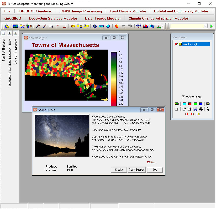
TerrSet 2020 v19.0.8 is a powerful geospatial modeling software developed by Clark Labs, part of Clark University. This integrated suite combines Geographic Information System (GIS) and image processing tools, making it a fundamental application for professionals in environmental management, sustainability, and advanced geospatial analysis. Its capabilities are crucial for understanding and addressing complex ecological processes and global environmental challenges.
Overview of TerrSet
Background and Evolution
TerrSet, formerly known as IDRISI, has a long-standing reputation in the geospatial community. Developed by Clark Labs, its evolution represents a significant contribution to the field of environmental and resource management. The software has consistently provided a robust platform for advanced geospatial analysis, adapting over the years to incorporate new methodologies and technologies. This transition and ongoing development underscore its commitment to serving as a leading tool for complex ecological modeling and environmental assessment.
Key Capabilities and Tools
Comprehensive Geological Modeling
TerrSet offers sophisticated tools for comprehensive geological and ecological modeling. Its extensive component library allows users to construct detailed analyses of environmental systems. This facilitates in-depth studies of geological processes, resource distribution, and ecosystem dynamics, providing a strong foundation for predictive environmental modeling.
Advanced Image Processing Techniques
The software excels in advanced image processing, delivering a wide array of tools for analyzing raster data. Users can perform complex data categorization, feature extraction, and change detection using these techniques. These capabilities are essential for interpreting satellite imagery and aerial photographs for detailed environmental monitoring and resource mapping.
Applications in Environmental and Geospatial Analysis
Supporting Climate Change Research
TerrSet is instrumental in climate change assessment research. It provides specialized tools for modeling potential climate impacts, such as analyzing shifts in vegetation patterns, water resource availability, and the frequency of extreme weather events. These analytical capabilities are vital for developing effective mitigation and adaptation strategies.
Land Use Change and Resource Management
The software enables detailed land use change analysis and supports effective resource management strategies. Professionals use TerrSet to model urban sprawl, deforestation, agricultural expansion, and the impact of these changes on ecosystems and local resources. This aids in sustainable development planning and the formulation of informed environmental policies.
Integration with Programming Languages
TerrSet offers robust integration capabilities through its Application Programming Interfaces (APIs). These utilities are designed to work seamlessly with popular programming languages like Python and C++. This allows for the automation of complex workflows, the creation of custom analytical procedures, and the enhancement of data processing capabilities beyond the standard graphical user interface.
Case Studies and Real-World Applications
Examples of TerrSet Usage in Various Industries
TerrSet finds application across numerous sectors requiring sophisticated geospatial analysis and environmental modeling. Its utility extends to:
- Environmental policy formulation, where it aids in assessing the impact of proposed regulations.
- Urban planning, by providing tools to model city growth and infrastructure development.
- Natural resource management, including the monitoring and sustainable utilization of forests, water, and agricultural lands.
- Sustainability initiatives, by quantifying environmental changes and supporting long-term planning.
- Ecological research, by facilitating the study of complex bio-physical processes and habitats.
Conclusion and Future Developments
TerrSet 2020 v19.0.8 continues to be an indispensable tool for geospatial analysis and environmental modeling. Its comprehensive suite of GIS and image processing capabilities, combined with its strong support for climate change assessment and sustainable development, positions it as essential software for tackling current and future environmental challenges. The ongoing development by Clark Labs ensures its continued relevance for researchers and practitioners worldwide.
Frequently Asked Questions
What is TerrSet used for?
TerrSet is used for geospatial modeling and analysis, focusing on environmental management, including climate change assessment and land use modeling. It enables professionals to analyze complex ecological processes and make informed decisions regarding resource management and environmental sustainability.
How does TerrSet support climate change research?
TerrSet offers tools that help analyze and visualize climate impacts, including changes in land use and resource distribution over time. Researchers can utilize its modeling capabilities to assess the effects of climate variability and change on ecosystems, water resources, and agricultural productivity.
Can I integrate TerrSet with programming languages?
Yes, TerrSet provides multiple APIs that facilitate integration with programming languages like Python and C++, enhancing data analysis capabilities. This allows for custom script development, automation of analytical tasks, and the incorporation of TerrSet’s powerful functions into larger computational workflows.


Reviews
There are no reviews yet.